New Park Farm, Shifnal, Shropshire
Proposed New Homes & Public Open Space
Further to the consultation undertaken in 2025, an outline planning application has now been submitted to Shropshire Council (March 2026).
Once the application has been validated, it will be available to view and comment on via the Council’s online planning portal.
An outline planning application seeks to establish whether the scale and nature of a proposed development would be acceptable to the local planning authority, before a second fully detailed planning application is put forward, which is called a Reserved Matters.
Once the application has been validated, the Council will notify local residents and carry out its own statutory consultation process.
Any further comments should now be submitted directly to Shropshire Council so that they can be considered as part of the planning application.
In summary the proposals include:
- Up to 200, 1 to 5 bed homes with a maximum height of up to 2.5 stories
- 20% affordable housing
- Public open space including play areas including a Local Equipped Area of Play (LEAP) and teenage play provision
- Revell’s Rough woodland will remain and will be provided with additional protective landscaping buffers
Site Specifics
 30.8 Acre Site (12.5 Hectares)
 Up to 200 New Homes
Affordable Housing - 20%
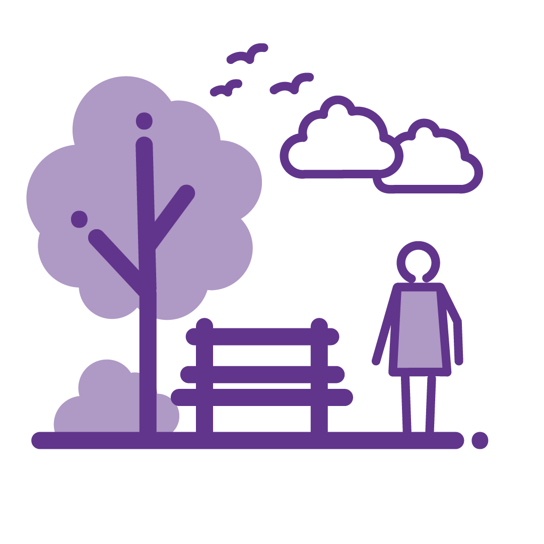
Public Open Space - including play areas including a Local Equipped Area of Play (LEAP) and teenage play provision

Revell’s Rough Woodland - will remain and will be provided with additional protective landscaping buffers
Further to the consultation undertaken in 2025, an outline planning application has now been submitted to Shropshire Council (March 2026).
Once the application has been validated, it will be available to view and comment on via the Council’s online planning portal.
An outline planning application seeks to establish whether the scale and nature of a proposed development would be acceptable to the local planning authority, before a second fully detailed planning application is put forward, which is called a Reserved Matters.
Once the application has been validated, the Council will notify local residents and carry out its own statutory consultation process.
Any further comments should now be submitted directly to Shropshire Council so that they can be considered as part of the planning application.
In summary the proposals include:
- Up to 200, 1 to 5 bed homes with a maximum height of up to 2.5 stories
- 20% affordable housing
- Public open space including play areas including a Local Equipped Area of Play (LEAP) and teenage play provision
- Revell’s Rough woodland will remain and will be provided with additional protective landscaping buffers